
Every year, gray whales swim one of the longest migrations on Earth — up to 10,000 miles round trip between the warm lagoons of Baja California, where they calve, and the rich feeding grounds of the Bering Sea. They navigate open ocean with no landmarks, fasting for months, guiding newborn calves the entire way. For most of human history, where whales went when they vanished from shore was pure mystery. Today, scientists track individual whales across entire ocean basins in near real time.
How do scientists study whale migration? The toolkit blends satellite technology, photographic detective work, underwater listening stations, and drones — each method revealing a different chapter of the journey. Together they have rewritten what we know about whale lives, and the discoveries keep coming.
Satellite Tags: Following Whales From Space
The most direct method is also the most dramatic. Researchers attach satellite-linked transmitters to a whale’s back — typically with a small dart-like tag implanted just under the skin, or suction-cup tags that ride along for hours or days. Each time the whale surfaces, the tag pings orbiting satellites, building a track of its movements.
These tracks have produced jaw-dropping revelations. Tagged humpbacks have been followed across entire ocean basins; gray whales from the critically endangered western Pacific population were tracked migrating from Russia to Mexico, proving the two populations mix. Tags also record dive depth and duration, revealing feeding behavior invisible from the surface. The method is not without controversy — implantation requires approaching the animal closely — so protocols reviewed by agencies like NOAA Fisheries weigh the scientific value against the brief disturbance to the whale.
Photo Identification: Nature’s Fingerprint File
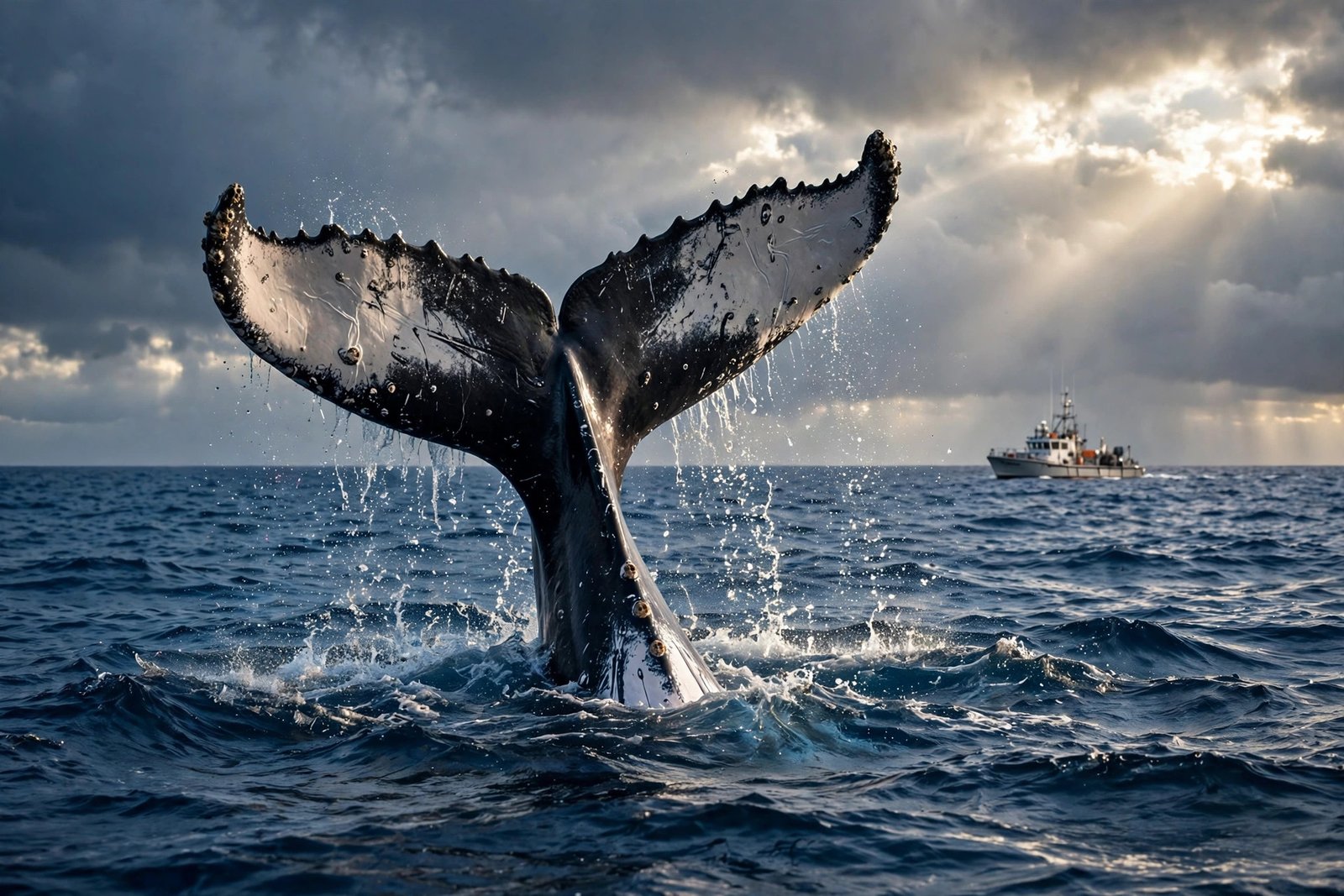
Every humpback whale’s tail fluke carries a unique pattern of black-and-white pigmentation, scars, and trailing-edge shape — as individual as a fingerprint. Since the 1970s, researchers have photographed flukes and matched them across years and oceans, building catalogs of known individuals with documented life histories: who calved where, who traveled with whom, who survived entanglement.
Modern AI has supercharged this old-school method. Platforms like Happywhale let anyone upload a fluke photo and get an automated match against tens of thousands of cataloged whales within minutes — citizen science feeding professional research. Photo-ID proved, among other things, that some humpbacks migrate between specific feeding and breeding grounds with astonishing fidelity, returning to the same Alaskan cove summer after summer for decades.
Listening In: Acoustic Monitoring
Whales are among the ocean’s great vocalists, and scientists eavesdrop at scale. Networks of underwater hydrophones — including repurposed Cold War-era Navy arrays and modern autonomous recorders — capture whale songs and calls across vast areas. Humpback songs evolve culturally, with new phrases sweeping through populations like chart hits. Blue whale calls, among the loudest sounds any animal makes, can be detected hundreds of miles away.
Acoustics reveal presence without ever seeing the animal: a hydrophone off California can log migrating gray whales by their calls alone, day and night, in any weather. When combined with visual surveys, the acoustic record exposes migration timing shifts — and researchers are now documenting whales arriving earlier or lingering longer as ocean temperatures change, a climate signal written in song.
Drones and Aerial Surveys
Small drones have revolutionized the close-up study of migrating whales. Flying high enough to avoid disturbance, they capture overhead imagery used to measure body condition — a whale’s width-to-length ratio reveals whether it is starving or thriving. Researchers can literally watch a mother’s condition decline as she nurses a calf through a fasting migration, quantifying the energetic cost of the journey.
Traditional aerial and ship surveys still provide the population counts that underpin conservation: the long-running gray whale census from shore stations in California, for instance, has tracked the population’s recovery from whaling-era lows to more than 20,000 animals. For travelers hoping to witness migration season firsthand, timing a trip around the winter movement south is as rewarding as any classic beach vacation — with the added thrill of spouts on the horizon.
What Migration Studies Have Revealed
Decades of tracking have overturned old assumptions. We now know some “migratory” populations include individuals that skip migration entirely. We have learned that mothers teach calves specific routes culturally — migration is learned, not purely instinctive. We have discovered that whales time their journeys to ocean productivity cycles with remarkable precision, and that noise pollution, ship strikes, and warming waters are reshaping ancient routes in real time. Each tagged whale is a data point in the largest animal-movement experiment ever run.
Threats on the Migration Highway
The routes whales have traveled for millennia are becoming obstacle courses. Ship strikes kill or injure thousands of large whales yearly; a container ship and a blue whale cannot dodge each other, which is why researchers now share real-time whale locations with shipping companies to trigger voluntary slowdowns in hotspots like the Santa Barbara Channel. Entanglement in fishing gear — crab pots, gillnets — drowns or starves whales slowly, and the scars cataloged in photo-ID databases show how many survivors carry the evidence.
Noise is the invisible threat. Seismic surveys, naval sonar, and the constant drone of shipping raise background ocean noise dramatically, masking the calls whales use to navigate, find mates, and keep calves close. Experiments have shown beaked whales stranding after sonar exercises, and chronic noise is linked to elevated stress hormones. Add warming waters shifting prey distributions — forcing whales to travel farther or arrive at feeding grounds out of sync with food blooms — and the migration itself becomes harder. The tracking data documenting these pressures is also the evidence base for solutions: slower ships, ropeless fishing gear, quieter oceans.
Conclusion
Scientists study whale migration with satellite tags that trace ocean-basin journeys, fluke photographs matched by AI, hydrophone networks that hear migrations pass, and drones that measure the physical toll of the trip. What was once invisible is now among the best-documented movements in nature — and the data double as an early-warning system for how our changing oceans are rewriting the routes whales have swum for millennia. Every new track is both a scientific triumph and a reminder of what is at stake.
Further reading: For more on this topic, see passport rules for a Bahamas cruise and International Whaling Commission conservation work.
Frequently Asked Questions
How far do whales migrate?
Gray whales make one of the longest migrations of any mammal: up to 10,000 miles round trip between Baja California breeding lagoons and Arctic feeding grounds. Humpbacks routinely cross entire ocean basins between tropical breeding areas and polar feeding zones.
Do satellite tags hurt whales?
Implantable tags cause brief, minor tissue disruption during attachment, similar to a piercing; suction-cup tags are non-invasive but short-lived. Research permits require weighing scientific value against disturbance, and protocols are designed to minimize harm.
How do scientists tell individual whales apart?
Primarily through photo identification of unique markings — humpback tail fluke patterns, gray whale scar patterns, orca saddle patches. AI-powered matching platforms now identify individuals from tourist photos in minutes.
Why do whales migrate at all?
The leading explanation is a trade-off: polar waters offer rich feeding in summer but are too cold and food-poor for newborns, while warm tropical waters are safe for calving but lack food. Migration lets whales exploit both — feast where food is dense, breed where calves are safe.