
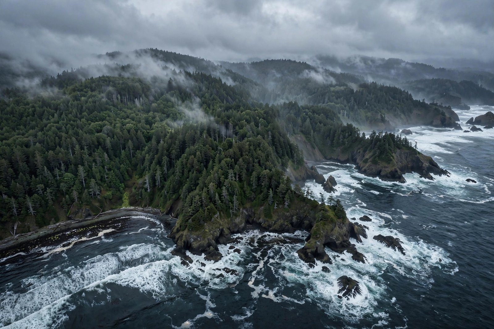
Off the Pacific Northwest coast, a geological time bomb is ticking — and scientists can hear it. The Cascadia subduction zone, a 600-mile fault where one tectonic plate dives beneath another, has produced some of the largest earthquakes in Earth’s history. The last full rupture was in the year 1700. The average interval between monster quakes is measured in centuries, not millennia. Seismologists do not debate whether it will rupture again. They debate when, and whether the region is ready.
This is the story of the Cascadia threat: the geology that makes it inevitable, the evidence written in drowned forests and Japanese records, what a magnitude-9 rupture would actually do to Seattle, Portland, and the coast — and the preparations that turn a catastrophe into a survivable disaster.
The Geology of a Looming Giant
Subduction zones are where the planet recycles itself. Off the coasts of northern California, Oregon, Washington, and British Columbia, the Juan de Fuca plate creeps eastward and dives beneath the North American plate at about 3 to 4 centimeters per year — roughly the speed your fingernails grow. But the plates do not slide smoothly. They stick. For centuries, the descending plate drags the edge of the continent down with it, storing elastic energy like a drawn bow.
When the stuck fault finally slips, centuries of accumulated motion release in minutes. The seafloor lurches upward by meters, displacing the entire water column above it — the recipe for a major tsunami. The USGS and university researchers consider Cascadia capable of a magnitude 8 to 9 earthquake, comparable to the 2011 Japan and 2004 Sumatra events, which occurred on eerily similar subduction faults.
January 26, 1700: The Last Big One
How do we know Cascadia ruptures catastrophically? The evidence is extraordinary. Along the Pacific Northwest coast stand “ghost forests” — groves of dead cedar trees, killed when the land dropped several feet and saltwater flooded their roots. Tree-ring dating pins their death to the winter of 1699–1700.
Even more remarkable: Japan kept the receipt. On the night of January 26, 1700, an “orphan tsunami” — a destructive wave with no felt earthquake — struck Japanese coastal villages, and meticulous records describe the damage. Working backward from the wave’s arrival time, seismologists calculated a magnitude-9 earthquake off North America at about 9 p.m. Pacific time. A quake with no written witnesses on its own continent, reconstructed from a tsunami half an ocean away — it remains one of the great detective stories in Earth science.
How Overdue Is the Next Rupture?
Turbulent layers of sediment offshore — turbidites — record at least a dozen major Cascadia ruptures over the past 6,000 years, giving an average interval of roughly 300 to 500 years. The last was 326 years ago. Statistically, the fault is well within its typical window — but “overdue” misleads. Earthquakes do not run on schedules; the annual probability remains low even as the long-term certainty approaches 100 percent. The honest statement: a full-margin rupture could happen tomorrow or in another century, and the region must prepare as though tomorrow is possible.
Oregon’s own emergency planners take this seriously enough to advise residents to be ready to be self-sufficient for two full weeks — a striking recommendation that reflects how thoroughly a magnitude-9 event would disrupt the region’s infrastructure. If you are weighing a move to the region, it is worth planning extended at-home self-sufficiency as part of the decision, not as an afterthought.
What a Magnitude-9 Would Actually Do
Picture this: shaking begins and does not stop for three to five minutes — an eternity compared with the seconds of a typical California quake. Unreinforced masonry buildings collapse. Bridges, designed before modern seismic codes, fail across the region. Landslides bury highways, cutting off the coast. Then, fifteen to thirty minutes after the shaking, the tsunami arrives: not a single curling wave but a rapid, relentless surge of water that can run a mile or more inland across low coastal plains.
Inland cities face a different nightmare: not the wave, but the aftermath. Power, water, and communications could be out for weeks in the hardest-hit areas. Fuel, food, and medical supply chains — all dependent on vulnerable bridges and ports — seize up. The USGS earthquake hazards program and state geological surveys publish scenario studies that put potential casualties in the thousands and economic losses in the hundreds of billions if the region is unprepared — numbers that shrink dramatically with preparation.
How to Prepare for Cascadia
Preparation is unglamorous and it works. Start with the basics that apply to any major quake: secure heavy furniture and water heaters, know how to shut off gas and water, and keep shoes and a flashlight by the bed. Then go further, because Cascadia scenarios demand more.
Build a Two-Week Kit
Store one gallon of water per person per day for fourteen days, plus nonperishable food, medications, sanitation supplies, and cash in small bills. Rotate supplies annually. This sounds extreme until you consider that resupply trucks cannot cross collapsed bridges.
Know Your Tsunami Zone
If you live, work, or vacation on the coast, learn whether you are inside the tsunami inundation zone — state geological surveys publish detailed maps. Identify your evacuation route to high ground and practice walking it; in a real event you may have under twenty minutes. Teach children the rule: long shaking near the ocean means move uphill immediately, no waiting.
Make Your Home Quake-Tougher
Seismic retrofits — bolting older homes to foundations, bracing cripple walls — are among the highest-return investments a homeowner in the region can make, and several states offer grant programs to offset costs. Ask a structural engineer about your home’s vintage: houses built before modern seismic codes are the ones that kill people.
Conclusion
The Cascadia subduction zone is not a mystery and not a myth. It is a well-studied fault with a documented history of magnitude-9 violence, a 326-year silence, and a coastal population far larger than anything it has ever tested. Science cannot give us the date. It has given us everything else: the mechanism, the precedent, the maps, and the playbook. The threat is certain enough and the preparations clear enough that readiness is simply the rational choice.
Further reading: For more on this topic, see what to keep in a car emergency kit and the Great ShakeOut earthquake drill program.
Frequently Asked Questions
What is the Cascadia subduction zone?
A 600-mile fault off the Pacific Northwest where the Juan de Fuca plate subducts beneath the North American plate. It is capable of magnitude-8 to 9 megathrust earthquakes followed by major tsunamis, similar to the faults behind the 2004 and 2011 disasters.
When was the last Cascadia earthquake?
January 26, 1700 — a magnitude-9 full-margin rupture dated through drowned coastal forests and Japanese tsunami records. The average interval between major events is roughly 300 to 500 years.
Is the Pacific Northwest overdue for a big earthquake?
The fault is within its typical recurrence window, but earthquakes do not follow schedules — the annual probability stays low even as long-term certainty is near total. Emergency planners prepare for the possibility, not a predicted date.
How do I know if I am in a Cascadia tsunami zone?
Check your state’s tsunami inundation maps, published by state geological surveys and emergency management agencies. They show modeled flood zones street by street so you can identify evacuation routes in advance.