
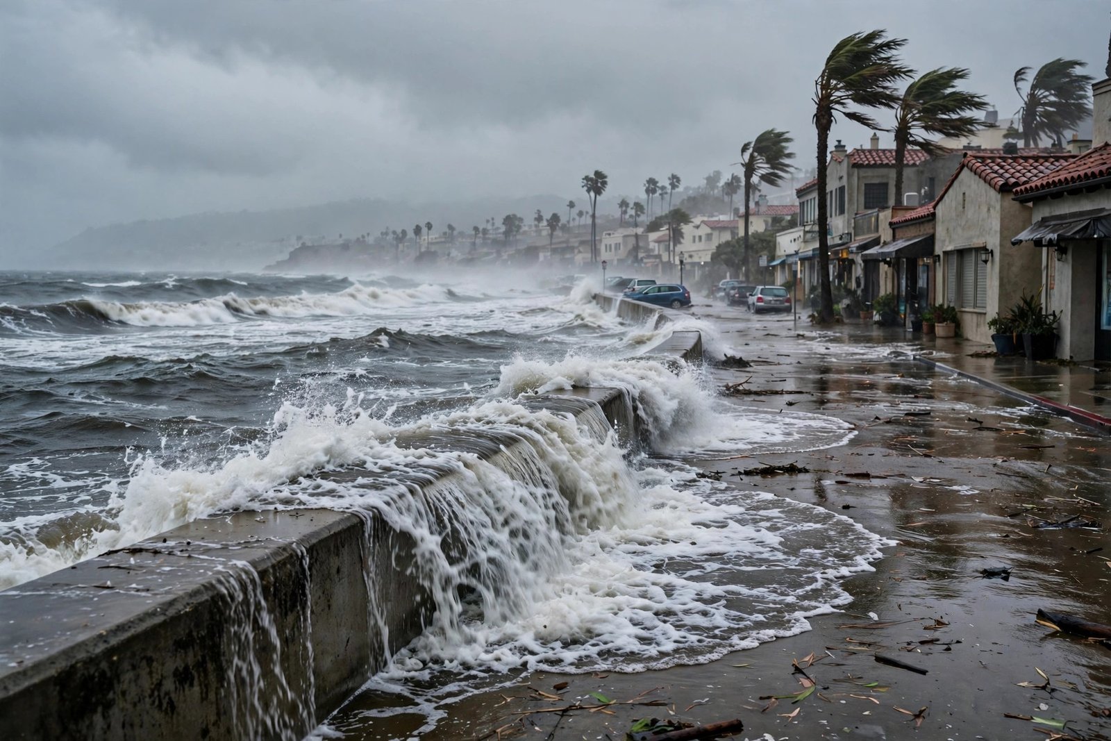
Global sea level is rising — about 4 inches since 1993, accelerating to roughly 1.6 inches per decade. But that global average hides a striking regional pattern: along the US West Coast, seas are rising significantly faster than the global mean, while parts of the East Coast see different rates again. If sea level rise were just about melting ice, it would be roughly uniform. It is not — because sea level is not one thing, and the West Coast has several local factors stacking against it.
Here is why the West Coast is getting hit harder, what the projections show, and what it means for coastal communities.
First: Why Sea Level Rise Is Not Uniform
Three global mechanisms raise seas: thermal expansion (warming water takes up more volume — responsible for about 40% of current rise), melting glaciers and ice sheets (Greenland and Antarctica), and changes in land water storage (groundwater pumping, dam building). But local sea level — what actually floods your street — is modified by:
- Ocean currents and wind patterns that pile water up against some coasts.
- Vertical land motion — the land itself rising or sinking, which changes relative sea level even if the ocean stayed constant.
- Gravitational effects — massive ice sheets exert gravitational pull on nearby ocean water; as they melt, that pull weakens and water redistributes away (counterintuitively, melting Greenland raises seas more in the far field, including the Pacific).
- Regional climate patterns like El Niño, which temporarily elevate West Coast sea levels by inches.
The West Coast’s Specific Disadvantages
1. The land is sinking in key areas
Parts of the West Coast are subsiding — sinking relative to the ocean. Causes include groundwater extraction (California’s Central Valley has sunk up to 28 feet in places from pumping), natural tectonic settling, and compaction of sediments in delta regions. When the land sinks an inch and the sea rises an inch, the relative rise is two inches. In subsiding zones like parts of the Bay Area, land motion alone can double the effective rate.
2. Ocean dynamics pile water against the coast
Shifts in Pacific wind patterns and the phase of the Pacific Decadal Oscillation have increased the rate at which water accumulates along the western US coastline. Recent research shows the acceleration along the West Coast since ~2010 is substantially driven by these ocean-dynamic changes — essentially, the Pacific’s circulation is currently in a mode that pushes more water toward California, Oregon, and Washington.
3. El Niño amplifies the baseline
During El Niño events, West Coast sea levels run several inches above normal for months — on top of the rising baseline. As the baseline climbs, these temporary elevations increasingly cross flood thresholds, turning rare events into regular ones. What was a 100-year flood becomes a 10-year flood, then annual.
4. Gravitational fingerprint of ice loss
As Greenland and Antarctic ice sheets lose mass, their gravitational grip on surrounding oceans weakens, and water migrates toward the far field — disproportionately raising seas in the tropical and North Pacific. The West Coast sits in the zone that gains more than the global average from this redistribution.
What the Projections Show
NOAA’s sea level rise scenarios project roughly 1–2 feet of rise along the West Coast by 2050 under intermediate scenarios, and 2–4+ feet by 2100 — with the high-end scenarios considerably worse. But the headline numbers understate the impact: the real story is flood frequency. NOAA’s sea level rise technical reports show that “sunny day” high-tide flooding — streets flooding without any storm — is already increasing several-fold along California, and will become routine within decades under current trajectories.
Critical infrastructure is exposed: San Francisco International Airport, Bay Area highways, Southern California’s coastal rail line, ports at Long Beach and Oakland, and countless wastewater treatment plants — all built for a sea level that no longer exists. The USGS coastal change research maps this exposure in granular detail.
What Communities Are Doing
- Managed retreat: the most honest adaptation — buying out vulnerable properties and returning land to wetlands. Politically brutal, increasingly necessary in the most exposed zones.
- Living shorelines: restoring wetlands, dunes, and oyster reefs that absorb wave energy — cheaper and more resilient than seawalls in many settings, with ecological co-benefits.
- Elevated infrastructure: raising roads, rail lines, and critical facilities — expensive but unavoidable for infrastructure that cannot move.
- Updated building codes and disclosure: California now requires sea level rise disclosure in coastal real estate transactions — buyers deserve to know what the projections say.
Individual preparedness matters too: understanding your property’s exposure, maintaining emergency supplies for flood disruptions, and considering lower-impact travel choices as part of the broader emissions picture that ultimately drives the long-term trajectory.
What Individuals in Coastal Zones Can Do
Policy and infrastructure operate on decade timescales; your decisions operate now. If you live in a coastal zone: know your evacuation routes and flood zones (your county’s emergency management site has maps), keep important documents and emergency supplies above potential flood levels, review your flood insurance (standard homeowners policies exclude flooding — NFIP or private flood coverage is separate), and factor sea level projections into any property decisions. Community-level: attend planning meetings where adaptation decisions get made — managed retreat and infrastructure priorities are decided by whoever shows up.
Frequently Asked Questions
How fast is sea level rising on the West Coast specifically?
Recent measurements show rates exceeding the global average along much of the coast, with acceleration since ~2010. Local rates vary: subsiding areas see faster relative rise, while parts of the Pacific Northwest see slower rates due to tectonic uplift. Check NOAA’s tide gauge data for your specific location.
Will California cities be underwater by 2050?
No — “underwater” permanently is a 2100s-scale concern under high scenarios. The 2050s story is chronic flooding: regular high-tide flooding, storm surge reaching further inland, and infrastructure disruption. The damage function is about frequency, not submersion.
Can we stop sea level rise?
We can slow it substantially by cutting emissions — the difference between low and high scenarios by 2100 is several feet. But significant rise is already locked in from past emissions and ocean thermal inertia; adaptation is unavoidable regardless of mitigation success.
Why do some areas rise faster than others?
The combination of local land motion (sinking vs. rising), ocean current changes, gravitational redistribution from melting ice, and regional climate patterns. Global average sea level is a useful headline but a poor predictor of any specific coastline’s experience.
Should I worry about buying coastal property?
Do the diligence: check FEMA flood maps, state sea level rise projections, and insurance availability/pricing — insurers are already repricing coastal risk, which is the market’s honest signal. Factor potential flood costs and resale implications into the decision, not just the view.
The Bottom Line
The West Coast’s faster sea level rise is not a mystery — it is the sum of sinking land, ocean dynamics piling water against the shore, El Niño amplification, and the gravitational fingerprint of melting ice sheets, all stacked on the global trend. The consequence is measured not in distant submersion but in the accelerating frequency of flooding that disrupts life long before the water stays. Understanding the local factors is the first step; the second is treating adaptation — from infrastructure to individual preparedness — as the decade’s project, not the century’s.